Issued by the Atlantic Salmon Trust
{feed ubdate}
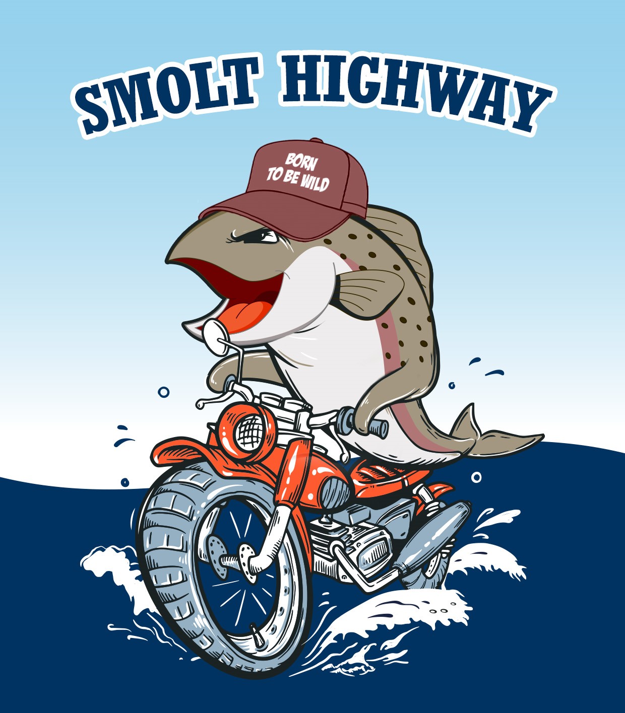
We’re beginning to hear the term “smolt highway” … but what exactly does it mean?
Think of this highway as a giant conveyor belt that our smolts can hitch a ride on, stretching for well over 3,000km from the Bay of Biscay in the south to the Vøring Plateau off the west coast of Norway. We know that our smolts use this strong current to reach their vital feeding grounds, but we don’t know, exactly, how they get there…
In an attempt to maximise the number of smolts who join this highway safely, we need to better understand how they reach our coastal waters. The findings from the West Coast Tracking Project will help to complete the puzzle of how our precious smolts move through the perils’ of the estuary & near shore areas. From there, we can use this vital information to bring forward solutions which can best to protect our smolts from these impacts, ensuring that as many smolts as possible arrive at their destination to feed, before continuing their remarkable journey.
Putting #WildSalmonFirst
The post What is the Smolt Highway ? appeared first on The Atlantic Salmon Trust.
 atlanticsalmontrust.org
{feed
ubdate}We’re beginning to hear the term “smolt highway” … but what exactly does it mean?
Think of this highway as a giant conveyor belt that our smolts can hitch a ride on, stretching for well over 3,000km from the Bay of Biscay in the south to the Vøring Plateau off the west coast of Norway. We know that our smolts use this strong current to reach their vital feeding grounds, but we don’t know, exactly, how they get there…
In an attempt to maximise the number of smolts who join this highway safely, we need to better understand how they reach our coastal waters. The findings from the West Coast Tracking Project will help to complete the puzzle of how our precious smolts move through the perils’ of the estuary & near shore areas. From there, we can use this vital information to bring forward solutions which can best to protect our smolts from these impacts, ensuring that as many smolts as possible arrive at their destination to feed, before continuing their remarkable journey.
Putting #WildSalmonFirst
The post What is the Smolt Highway ? appeared first on The Atlantic Salmon Trust.
What is the Smolt Highway ? - The Atlantic Salmon Trust
We’re beginning to hear the term “smolt highway” … but what exactly does it mean? Think of this highway as... More